Tim Hortons App (same company as Burger King and Popeyes) Subject of Federal Privacy Commissioner Investigation and Privacy Lawsuit
The Tim Hortons app is the subject of a Canadian Federal Privacy Commissioner investigation and class action lawsuit regarding user location data privacy. The app is owned by Restaurant Brands International, which also owns the Burger King and Popeyes apps. The essence of the investigation is Tim Hortons app’s use…
Android and iOS already have geofencing, why do I need PathSense?
The term “geofencing” is used in many different contexts, with many different meanings.
• In the geospatial world, “geofencing” means circles or polygons on maps.
• In the advertising world, “geofencing” means place data (Starbucks, Jack in the Box, 24 Hour Fitness, etc)
In this context, “geofencing” refers to a low level function used to wake up your app on arrival to or departure from some known location (lat/lng) or set of locations.
Protected: Privacy: Data Never Leaves the Phone
There is no excerpt because this is a protected post.
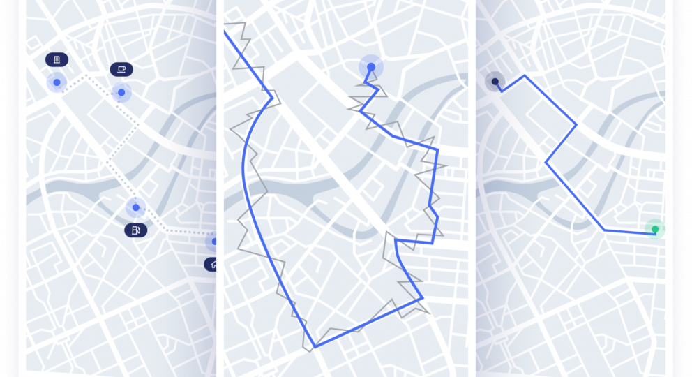
When Road Snapping / Map Matching Is Mission Critical
The 3 most common reasons our customers add road snapping (aka map matching) to their flagship apps include:
1. Professional Looking UX
2. Correct Mileage Calculation
3. Location Accuracy


